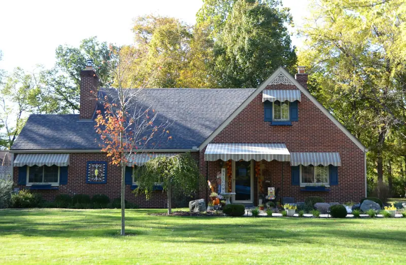
Spring
Heavy storms soak clay; watch for new gaps after a wet stretch.
Lake Palestine homes
A lake lot changes who has a say in your foundation work. Lake Palestine is a water-supply reservoir with a normal pool at 345 feet and an Authority-owned takeline at 355 feet, so the strip of ground between your yard and the water is regulated and can flood. Many homes above it sit on sandy loam over a clayey subsoil that holds water on slopes. We protect these foundations by moving water off the slope, supporting settling corners on piers that reach firm ground, and leaving shoreline work to the permits the Upper Neches River Municipal Water Authority requires.
Field note
The Texas Water Development Board describes Lake Palestine as a reservoir on the Neches River formed by Blackburn Crossing Dam, about four miles east of Frankston, owned and operated by the Upper Neches River Municipal Water Authority. The lake spreads across Anderson, Henderson, Smith and Cherokee counties.
The dam was built between 1960 and 1962 and enlarged from 1969 to 1971.
The numbers that matter for lake lots are elevations. The conservation pool, the normal lake level, is 345.0 feet. The Board's 2012 survey, co-funded with the U.S. Army Corps of Engineers, measured 23,112 surface acres at that level. The maximum design water surface is 355.3 feet, and the top of the dam is 364 feet.
The Authority's rules treat all land below its 355.0 foot takeline as subject to flooding.
Under the Authority's published rules, owners of land next to the takeline need a Limited Use Permit for any use of the strip between the takeline and the water, and a separate permit before building piers, boathouses, docks, bulkheads, fences or other improvements on Authority land.
Moving earth to bring the water closer, deepening for boats or dredging requires an application and plans, and in some cases U.S. Army Corps of Engineers approval. Channels cut across the takeline are not allowed.
Construction permits are valid for 180 days, and the Authority states that its permit does not replace federal, state, county or city rules or deed restrictions. Septic systems within 525 feet of the takeline fall in a Water Quality Zone and must be permitted by the Authority, and none may be built below the takeline.
For a foundation job, this means anything that changes the shoreline, such as a new retaining wall or drain outlet below 355 feet, needs its own approval first.
USDA soil maps for the Smith County side of the lake show sandy surfaces over finer subsoils. One lakeside slope maps as Cuthbert fine sandy loam on 5 to 20 percent slopes: about nine inches of sandy loam over a subsoil that reaches nearly half clay from roughly nine to 26 inches deep.
Other nearby units include Redsprings very gravelly sandy loam and Oakwood fine sandy loam, and across the water in Henderson County, Bernaldo fine sandy loam.
That layering shapes how water moves. Rain sinks quickly through the sandy top, stops at the clay and runs sideways downhill. On a sloped lake lot that perched water can soften the clay under the downhill side of a house, wash fine sand from under slab edges and keep crawl spaces damp.
Our article on Smith County soils explains how these series behave across the county.
Downhill settlement is the common pattern. The side facing the water drops, a crack runs from a window corner on that side, and the garage or patio slab separates from the house. On walkout designs, the lower wall carries soil from above and can lean inward if water is trapped behind it.
Erosion is the other. Bare slopes, concentrated roof runoff and foot traffic to the dock cut channels that move toward the house over time. Where a lot was built up with fill to create a level pad, that fill can keep settling for years. We record elevations on every visit so you can see whether movement is ongoing or old.
For slabs, steel push piers or helical piers under the settling side carry the load down past soft or saturated soil to firmer bearing. Helical piers are often a good fit on lots where heavy equipment would damage a slope. Our slab foundation repair page explains how we choose between them, and pier and beam repair covers raised homes.
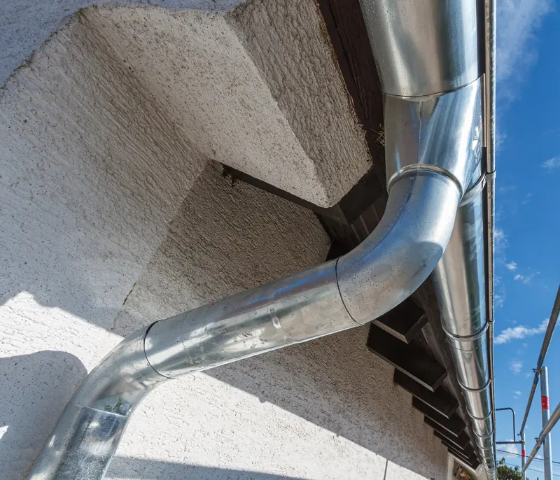
Drainage does as much as the piers. Gutters with extended downspouts, a shallow swale above the house and a French drain across the slope stop the sideways flow before it reaches the foundation. Outlets need to end on your side of the takeline unless the Authority has approved otherwise.
Our drainage and gutter solutions team plans these around the lot's grade.
Ask the seller for the Limited Use Permit and any construction permits for docks, bulkheads or shoreline work, and for the septic permit if the house is within the Water Quality Zone. Check whether the lot was cut, filled or both, and walk the downhill side looking for cracks and gaps.
A foundation inspection before closing sets a baseline you can compare against after the first wet season. If you are near Flint or Bullard, our Flint foundation repair page covers that part of the county.
Texas Water Development Board, Lake Palestine reservoir page and 2012 volumetric survey (dam, counties, elevations, surface area). Upper Neches River Municipal Water Authority, Rules and Regulations (takeline, Limited Use Permits, construction permits, Water Quality Zone). USDA NRCS Web Soil Survey (Cuthbert, Redsprings, Oakwood and Bernaldo map units, horizon clay content).

Why trust us
We work Smith County lots and soils every week.
Your written scope lists pier count, repair method and drainage work, so quotes compare line by line.
Every repair guide on this site is reviewed by Arturo Muñoz before it goes live.
A call or a request is only a conversation. You choose if and when work starts.
Seasonal guide
Heavy storms soak clay; watch for new gaps after a wet stretch.
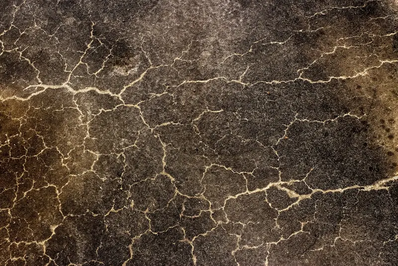
Long 90°F spells shrink soil; cracks often open in July and August.
Moisture returns; good time for inspection while symptoms are fresh.
Mild and wet; a sensible window to schedule repairs and drainage work.
Questions
It is the Water Authority's boundary elevation. Land below it is treated as subject to flooding, and using or building on it requires Authority permits.
If any part of it is on Authority land below the takeline, yes. The Authority requires a permit before bulkheads, fences or other improvements are built there.
Water soaks through sandy topsoil, stops at clay and runs downhill, softening soil under the low side. Fill placed to level the lot can also keep settling.
Often. They can be installed with smaller equipment on slopes and carry the house to firmer soil, but the choice depends on soil tests and access.
Send photos or call. We give straight answers before any quote.
Ready when you are
Pick the service, tell us your timing, and add your contact details. We follow up to confirm.